Some people seem to always live near the border. My Trautvetter family lived near political borders in Germany, Kentucky, and Illinois. Knowing that helps my research and having printed maps is often easier than constantly using images on my computer.
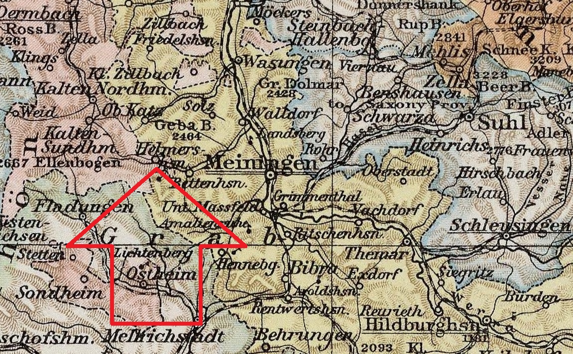
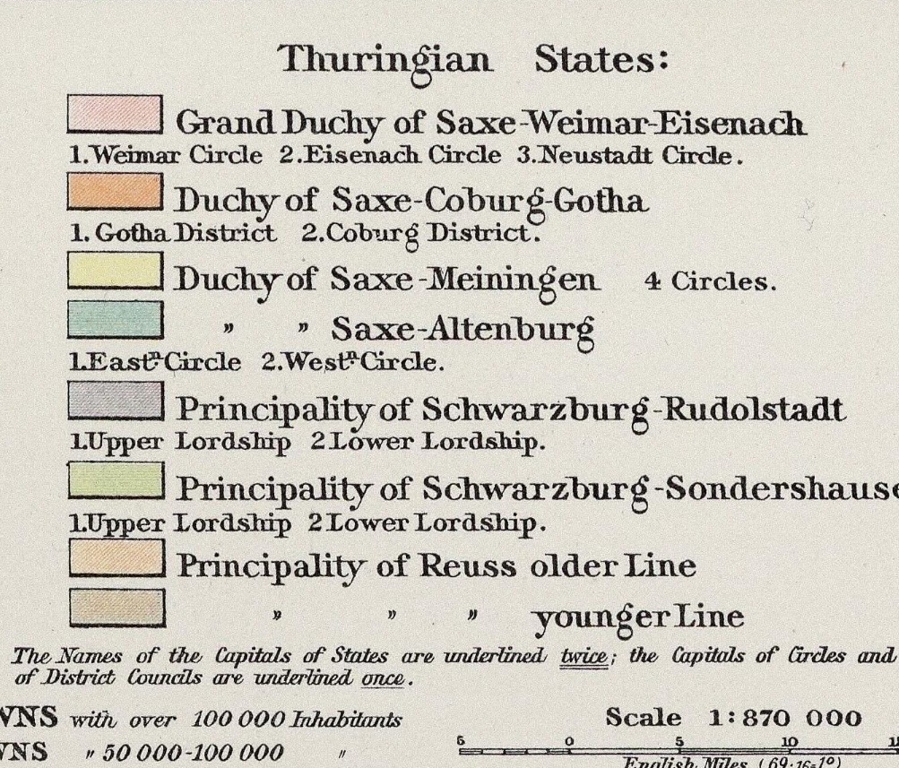
This map shows Helmershausen, Germany, clearly indicating it’s position relative to what were several Thuringian states at the time. Borders in Germany (like much of Europe) were in flux for some time. The small village was located in what was the Duchy of Saxe-Weimar-Eisenach but bordered several other Thuringen states. The town was abbreviated on the map–written as “Helmersh’sn.” I was fortunate it was not abbreviated in some other way that made it more difficult to locate.
Some printed maps do not show every town. The very nearby village of Wohlmuthausen is not shown on this illustration. There’s only so much room on most printed maps.
It was also apparent from the map that the village was very near the line with Bavaria. That’s good for me to know.
Contemporary maps of locations are good to have, but earlier maps help us to understand the relative positions of former political entities and see the progression of boundaries over time.
This image comes from Family Tree Historical Atlas of Germany, by James Beidler. It includes maps for all of Germany. This village was of particular interest as it is the village of Sophia Elizabeth (Derle) Trautvetter in 1808.


No responses yet